
Utilities 3D basic package consists of 1 bundle, this bundle has various combination of layers as per bundle’s specification. In addition to this user also has option to select additional layers.
There is another provision given when combination of certain point layers gets selected (refer: Figure 02 and 03), user gets an option to choose points only or points & attributes as part of deliverables. Remember this will be applicable for certain layers only.


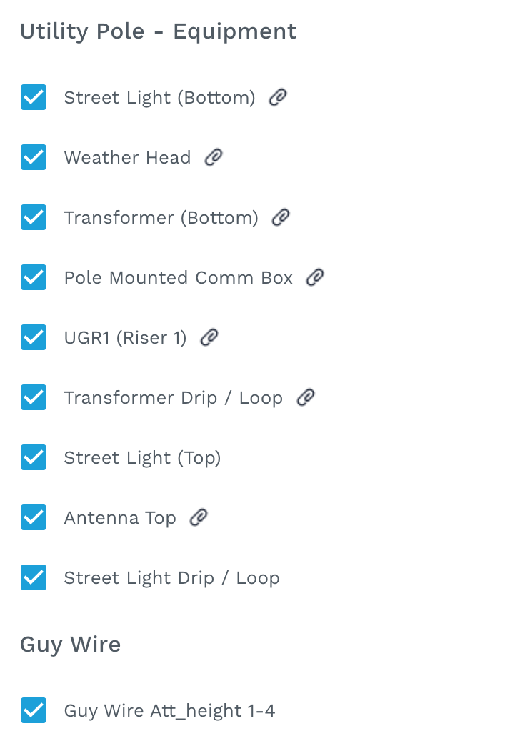
Let’s see the list of layers bundle-wise:
a) Aerial A - La - Carte - check below image for list of default layers
Utility Poles
-
Utility Pole Bottom
-
Utility Pole Top
-
Pole Height
-
Pole Diameter - Top
-
Pole Diameter - Bottom
-
Pole Tilt
-
Traffic Signal Light Bottom
-
Telco Tower Bottom
-
Light Post Bottom
Wires & Attachments
-
Power/Comm Att_height 1-10
-
Power / Comm Wires
-
Power / Comm Drops
Utility Pole - Equipment
-
Street Light (Bottom)
-
Weather Head
-
Transformer (Bottom)
-
Pole Mounted Comm Box
-
UGR1 (Riser 1)
-
Transformer Drip / Loop
-
Street Light (Top)
-
Antenna Top
-
Street Light Drip / Loop
Guy Wire
-
Guy Wire Att_height 1-4
-
Guy Wire Overhead
-
Guy Anchor
-
Guy Wire Lead Length
Clearances
-
Midspan
-
Lowest Line Sag
-
Road - Clearance
-
Railroad - Clearance
Basemap
-
Roads
-
Buildings
-
Railroad Lines
-
Parcels - GIS Data
-
Buildings - GIS Data
-
Building Type - GIS Data
-
Building Address - GIS Data
-
Building Unit Count - GIS Data
-
Roads - GIS Data
-
Center of Road - GIS Data
-
Legal RoW - GIS Data