
Topo Project Sizing:
1 Acre of your project equals 0.5 Credits if the 2D + Topo Bundle is selected.
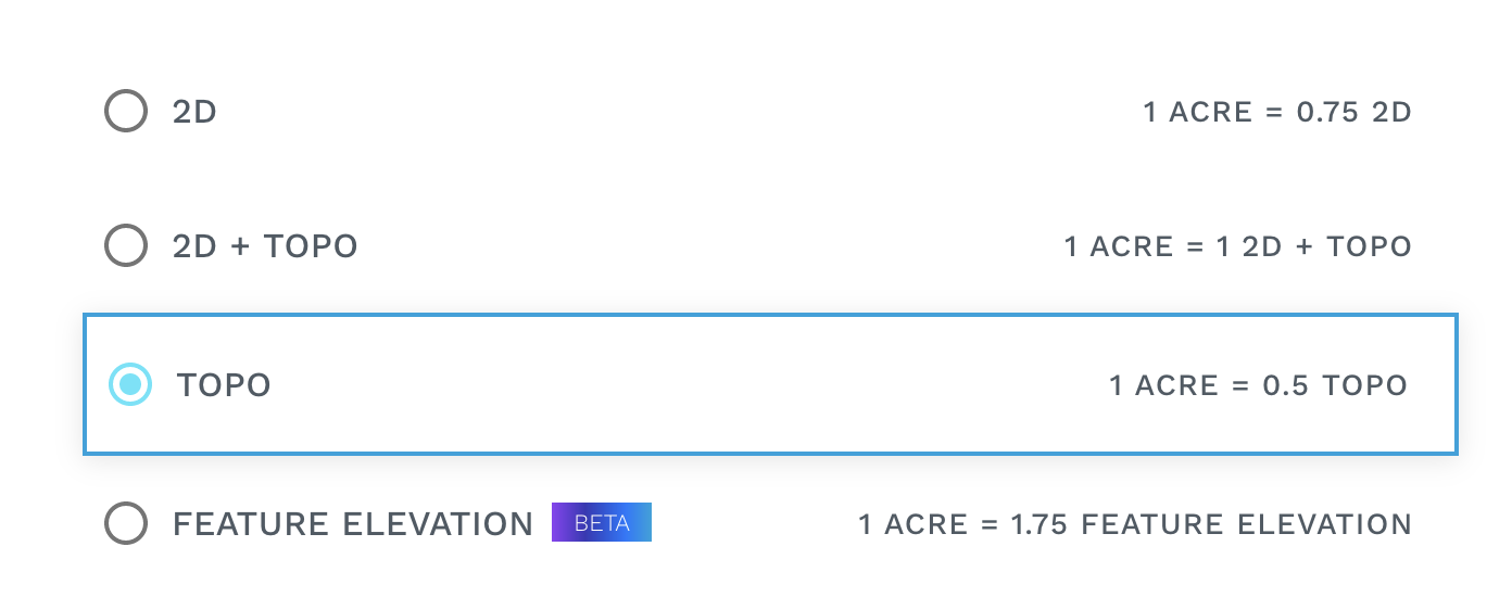
Input files needed for 2D + Topo:
-
TIF
-
LAS
As a reminder, our output quality is determined by the quality of your input data. Take a look at our output confidence level document here.
Base Layers:
These layers are included with your selection of the Topo only bundle.
Base Deliverables:
These file formats are included with your selection of the Topo only Bundle:
-
CAD Drawing (.dxf)
-
Smart Contours
-
Obstruction (Areas Obstructing Ground Segmentation)
Add-on Deliverables
-
Landxml File Format (.xml)
-
Geojson File Format (.geojson)
-
Esri File Format (.shp)
-
AutoCad File Format (.dwg)
-
Bentley File Format (.dgn)
-
GeoDatabase File Format (.gdb)
Topography
-
Classified Point Cloud (Ground, Non-ground)
-
Breaklines
(Rasterization required)
-
Multi Class Point Cloud Classification (Unclassified, Ground, Vegetation, Buildings, Wires, Pole and Telco Towers)
Currently Estimated Turnaround Times
|
Business Days |
Project Size |
|---|---|
|
Up to 4 business days |
up to 50 acres |
|
Up to 5 business days |
50 - 75 acres |
|
Up to 8 business days |
75 - 150 acres |
|
Up to 12 business days |
150 - 200 acres |
|
13 + business days |
200+ acres |