
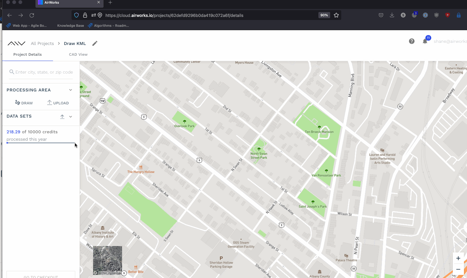
Step 6: Creating a processing area
There are three ways to add the extent of your processing area to your order:
Draw an enclosed polygon or multiple polygons!:
2. Draw lines and build a buffer around them.
AirWorks allows you to trace a linear element by drawing lines on the basemap or over your orthomosaic and then setting a right of way of 35 feet each way from the centerline. To do so, you need to:
Click the draw button under “Processing Area”
Select the line option from the left hand corner of the map.
Trace your lines. You can create multiple lines as long as the resultant ROW buffer intersects.
Set a buffer (min. 35 feet)
Adjust the buffer by moving its vertices
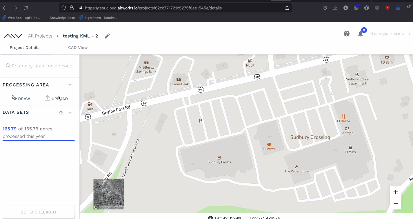
3. Upload a .kml file:
You can upload a KML file if the geometry of the file is a polygon or a linestream. Multiple polygons as part of the same processing area are welcome!
Uploading a polygon KML
If your uploaded KML file is detected to be a linestream, you will be prompted to add a buffer upon upload. The minimum length of a buffer is 10 feet from the center of the line. Once the buffer is created, you can adjust the vertices of the resulting polygon yourself or generate another buffer around the original file.
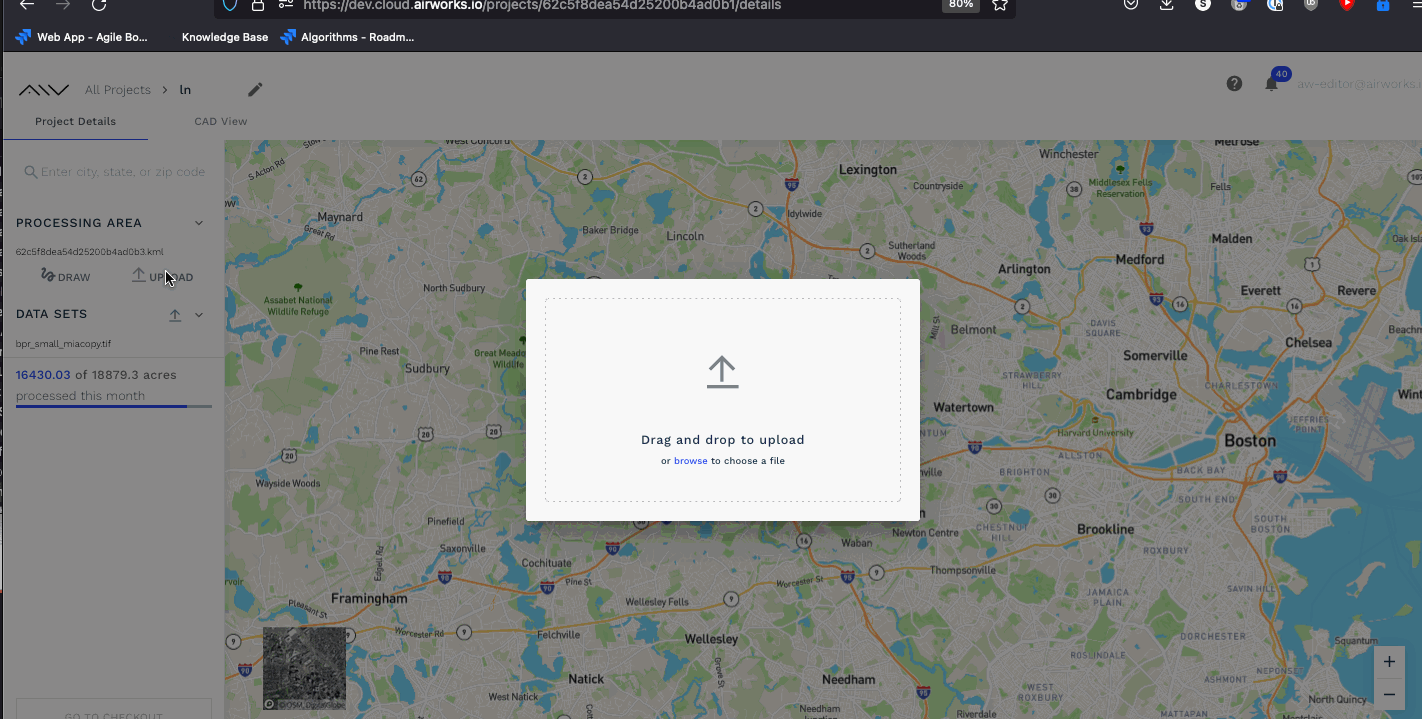
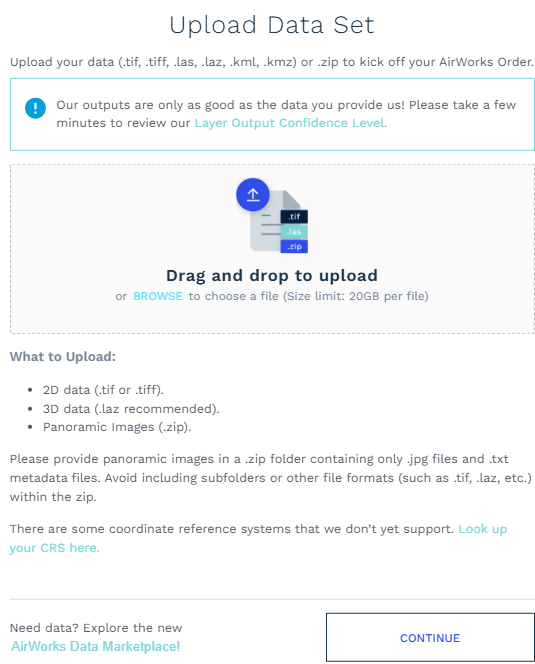
Upload Data Sets:
In this step if you have not added data set during creating new project then you can also upload data set from here. Refer screen shot below:

Data set upload option
After clicking highlight button in above screen, a new pop-up window will open asking data to be drag and drop or else browse and select. refer screen shot below:
Get Road Network
There are 2 options to work upon KML a) to draw the KML on map b) to upload KML file you have.
Once you are done with KML (draw/upload), on left side panel below Draw button you will get the option to Get Road Network. This facility will allow you to generate KML-Line string showing the path on the KML you drawn along-with buffer applied. This Road network data is made available by OpenStreetMap under Open Database License.
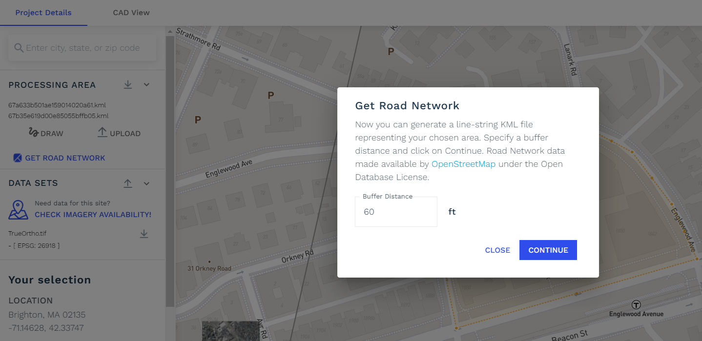
Get Road Network
Mention Buffer distance in .ft you want and click continue. It will process for few seconds and then it will show on map the Road Network Data with tiny direction arrows on it.
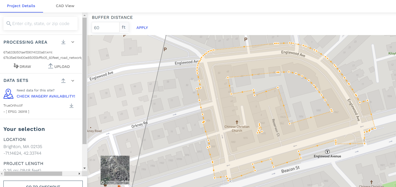
Road network data on map by OSM