
The release of QGIS 3.32 on June 26, 2023, introduces new features for Native Point Cloud Processing. This update includes the ability to create tiles from input LAS data, which proves to be a valuable tool when working with large point cloud files. Below, you'll find a brief walkthrough of this process.
-
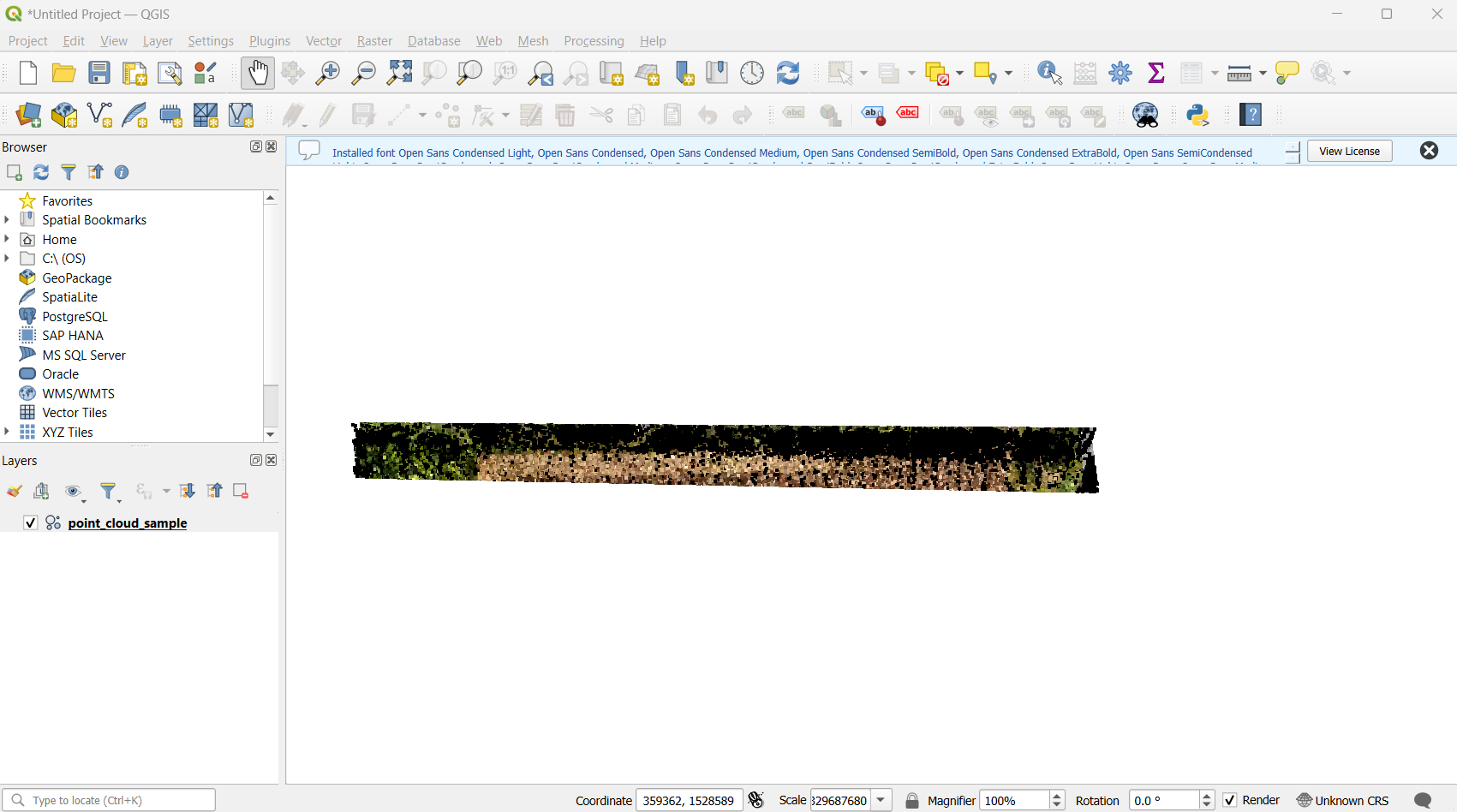
Open QGIS and load the LAS file. Make sure you are using the newest version of QGIS.
-
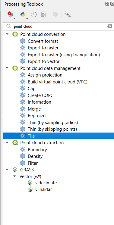
Open the Processing Toolbox and search “Point cloud data management“ to find the “Tile” tool.
-
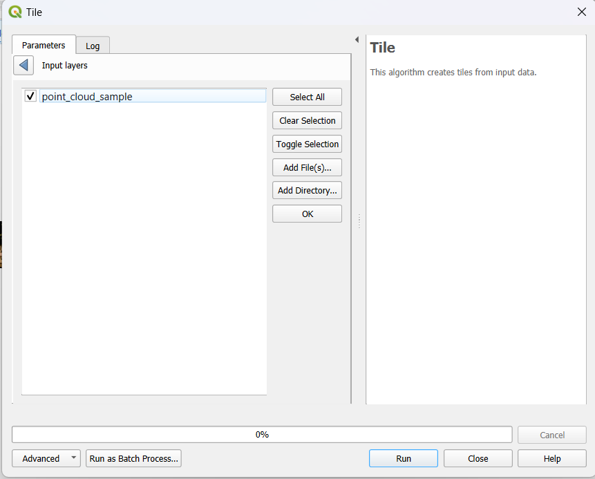
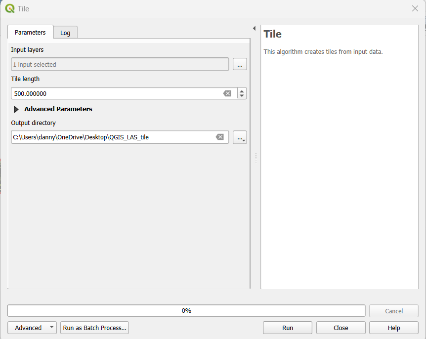
Open the tile tool and select the LAS file as the input data. Tile length is for specifying the map units. In this example, we are using 1000 ft. You can also choose the output location from the output directory. Then hit “run“.
-
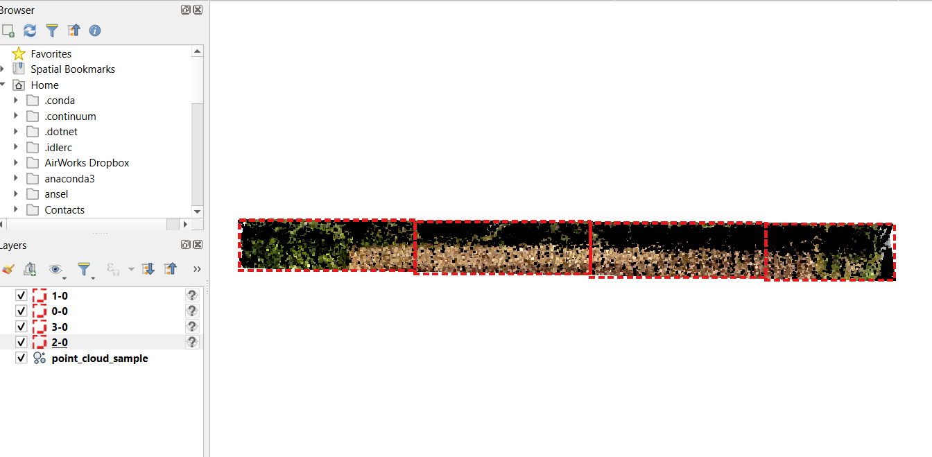
Bring the tiles back in and you can see the bounding boxes for the tiles.
-
Submit the tiles to your desired projects in your AirWorks Automate account.