
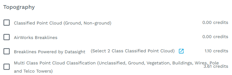
AirWorks Breaklines
How it Works:
These will be available as an add-on option during the regular checkout process when the 2D+ Topo bundle is selected.
Input Data Requirements:
an .LAS or .LAZ file, non-classified, AirWorks will handle the classification
a .TIFF or .TIF file
a .KML of your area of interest, either uploaded or drawn in the app
all files should have a resolution of 0.5 or 1 ft.
Price:
AirWorks Breaklines (2D + Topo) are charged at a standard rate of 1.25 credits per acre
When to order Breaklines (2D + Topo)
Any time you need a highly detailed and accurate elevation profile for reasons like assessing drainage. Customers doing corridor road projects have had a great deal of success using our Breaklines offering.
What You Will Receive:
Breaklines (2D + Topo) is delivered the same way as your usual AirWorks deliverables – via the project page in your account, where you can choose to view and download the files. For each job processed by us a dxf file will be provided with a series of specific layers that identify features with elevation data.
How we generate Breaklines:
Breaklines (2D + Topo) utilize the pointcloud elevation changes as well as pointcloud RGB information to concentrate on specific areas and objects where breaklines are typically beneficial. These include but are not limited to Top and bottom of slope, edge of walk, edge of concrete pads, gutters and flowlines, top and bottom of retaining walls, edge and center of road, back and bottom of curb. These breaklines can be used to create a digital surface from a pointcloud with a more accurate understanding of the elevation changes around these targeted to areas and objects.